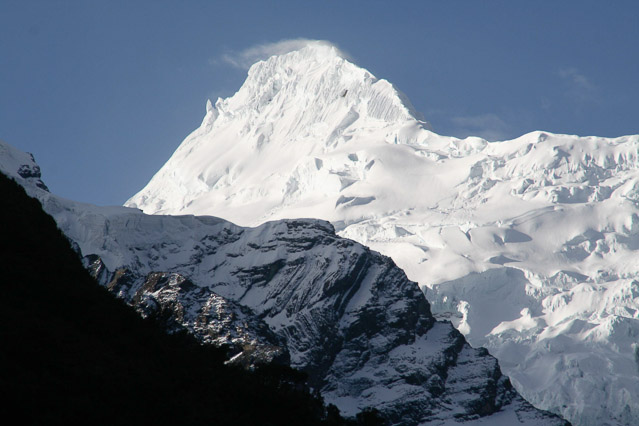
by eduars | Sep 29, 2013 | Andes Mountains, Featured
The uplift of the Andes mountains over millions of years has been due to a combination of plate tectonics and volcanism. Tectonic plates are sections of the earth’s crust that are in motion. Where they collide, they cause earthquakes and volcanoes and form...
by eduars | Sep 29, 2013 | Amazon Basin
More people moving to Amazonia usually mean more deforestation. Regionwide, most deforestation is due to clearing for agriculture, but in some areas of Madre de Dios, deforestation for alluvial gold mining has surpassed agriculture as the primary cause. Logging –...
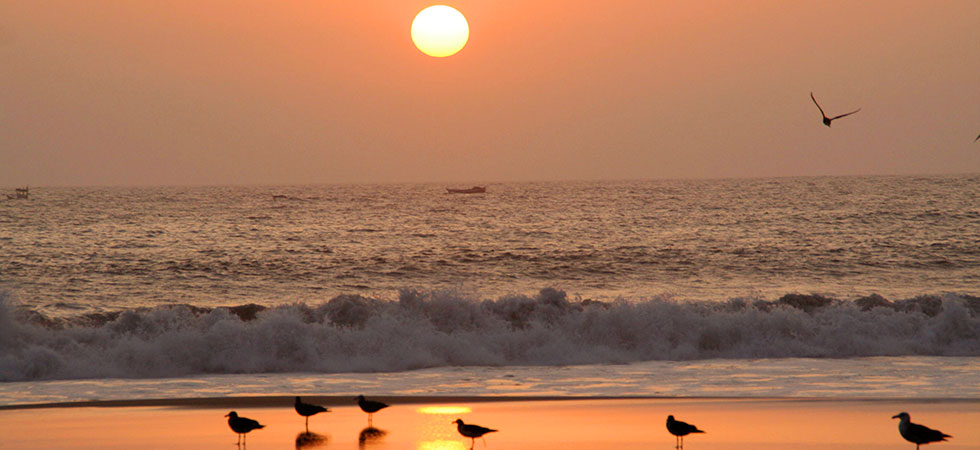
by eduars | Sep 29, 2013 | Coastal Desert, Featured
Peru’s coast is a long strip of desert cut in more than 50 places by seasonal rivers that flow from the Andes to the Pacific Ocean. But the coast has not always been arid. After South America broke away from Africa and the rest of Gondwana, the west coast was...
by eduars | Sep 29, 2013 | Amazon Basin
While three-quarters of the residents of Amazonia live in Brazil, the population has been growing in the Amazonian region of all the countries that share the basin. Population density in Amazonia has increased in the past two decades, from 3.4 inhabitants per square...
by eduars | Sep 29, 2013 | Amazon Basin
The Amazon watershed lies in the tropics, the band around the equator from 30 degrees north latitude to 30 degrees south, which receives more solar radiation than any other place on the planet. The lushness of the forest is due partly to sunlight and partly to wind...
by eduars | Sep 29, 2013 | Amazon Basin
The Amazon basin is the largest watershed on Earth. It provides about 20 percent of all fresh water flowing from continents into the oceans, and discharges more water per second than the Mississippi, the Nile and the Yangtze combined. During peak flood season, between...